


Beyond South Africa's headline destinations, a quieter stop off the main route sometimes fits the trip perfectly. Here are a few specific places that work well in a programme, when they line up with the group's route and time.
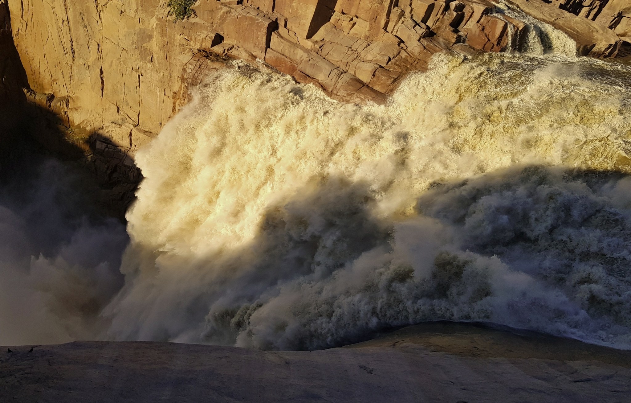
Augrabies Falls
On the Orange River in the north of the country, water drops 56 metres into a granite gorge 240 metres deep and 18 kilometres long, one of the most dramatic in South Africa, shaped by millennia of erosion. It is worth spending at least two nights here, with time for a walk along the canyon as well as quiet time at the falls themselves.
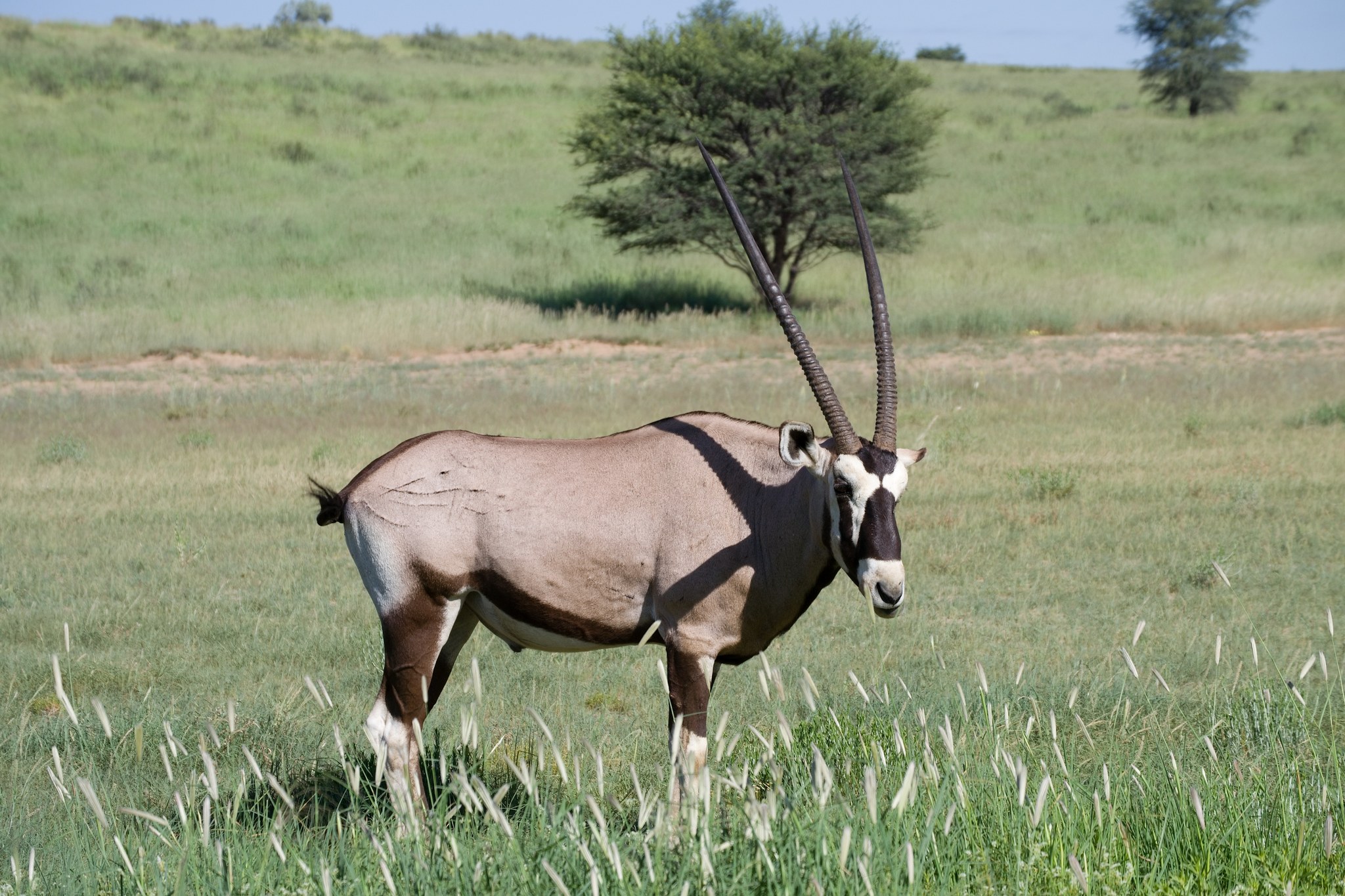
Kgalagadi Transfrontier Park
A semi-desert on the Botswana border, where safari is noticeably quieter than in Kruger. The camps of Twee Rivieren and Nossob are the starting points for spotting gemsbok, hyena and big cats across open dune country and dry riverbeds.
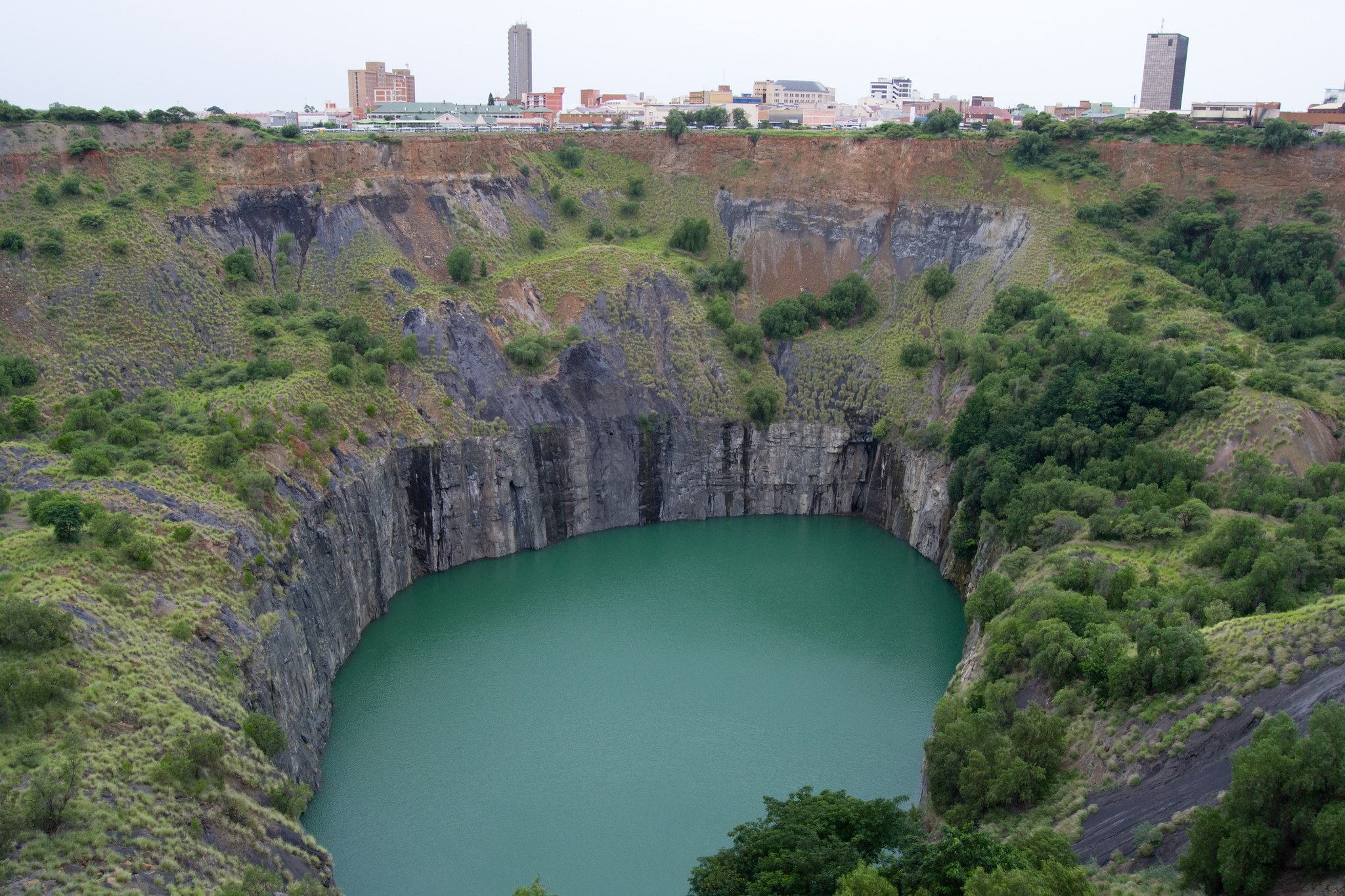
Kimberley and the Big Hole
A city that grew up around the diamond rush of the late 19th century. Between 1871 and 1914, up to 50,000 miners dug by hand a hole 463 metres wide, today you can walk around it at the Big Hole Museum, which combines a historic street, mining equipment and a diamond hall.
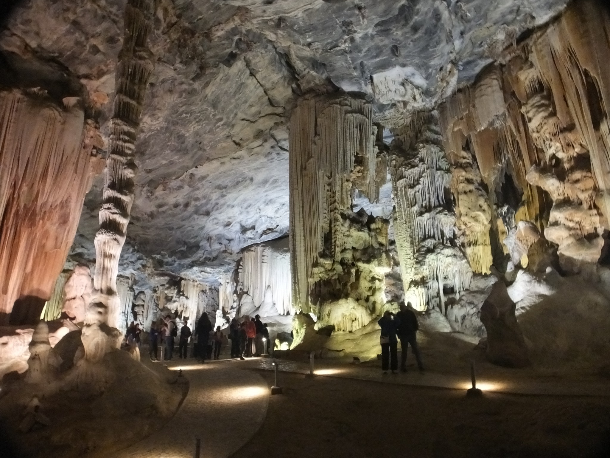
Karoo
A vast semi-desert between the Cape and the interior. Karoo National Park protects the Nuweveld mountain massif as well as open plains with mountain zebra, black rhino and antelope, and thanks to minimal light pollution, the night sky over the Karoo is among the darkest anywhere in South Africa.
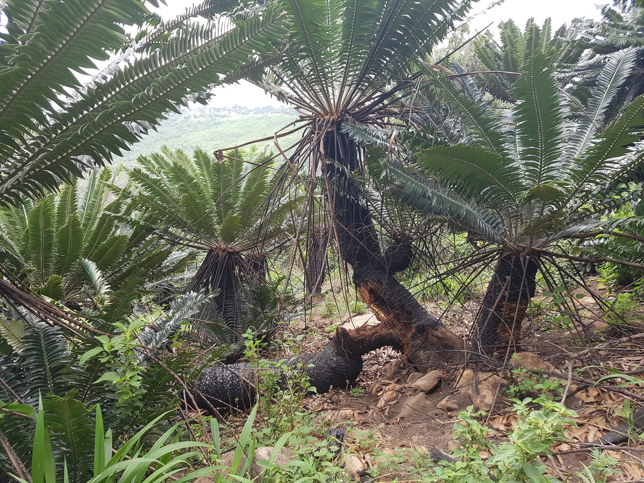
Modjadji, a sacred forest of ancient cycads
On the hills north of Tzaneen in Limpopo, the Modjadji reserve protects the largest natural population of the Modjadji cycad (Encephalartos transvenosus) in the world, an estimated 15,000 plants across under 350 hectares. Cycads are living fossils, close relatives of plants over a hundred million years old, and the site is wrapped in the legend of the Rain Queen Modjadji, whose lineage has guarded this land for generations.
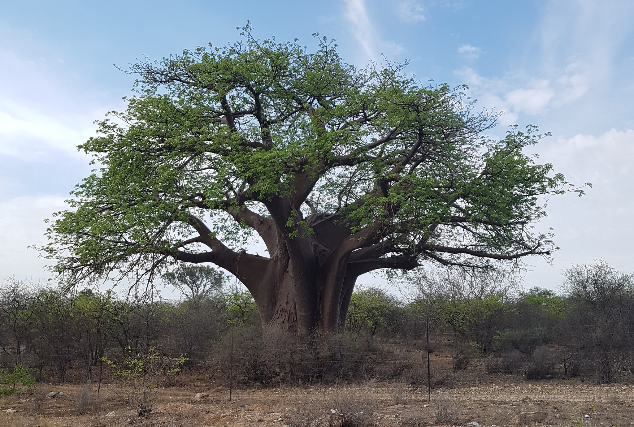
Musina, baobabs over four thousand years old
In Musina Nature Reserve in the far north of Limpopo, close to the Zimbabwe border, grows one of the densest concentrations of giant baobabs in South Africa, the reserve was established back in 1926 specifically to protect them. Some trees here reach 25 metres in height and over 28 metres in girth, and the largest in the area is estimated at 4,500 years old. Old baobabs often have a hollow trunk, once used by people as shelter, storage, or a gathering place.
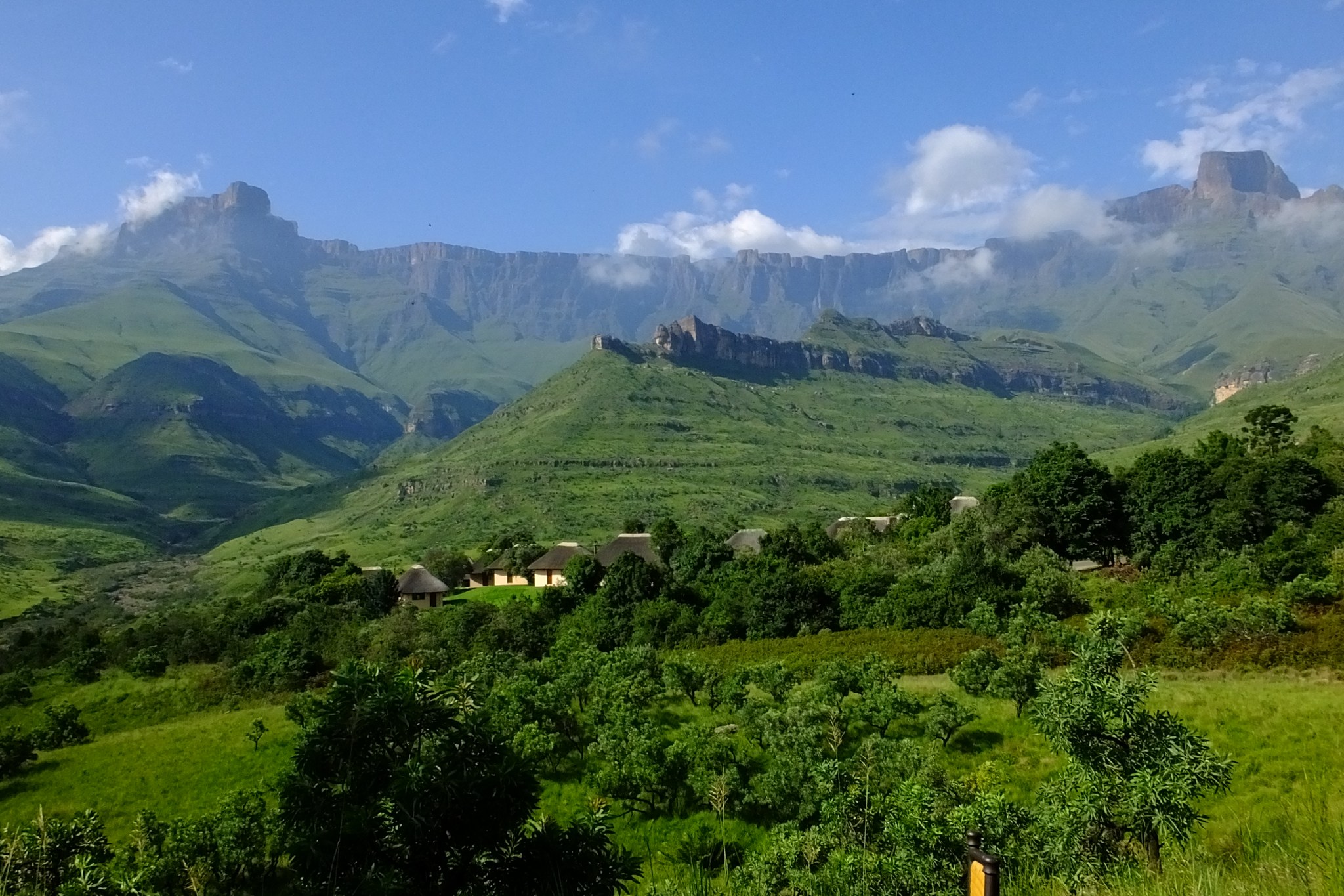
Royal Natal and the Amphitheatre: a hike to the highest waterfall in Africa
In Royal Natal National Park in the Drakensberg, the view opens onto the Amphitheatre, a rock wall from which Tugela Falls drops. According to a 2016 Czech expedition survey it stands 983 metres tall, making it the second-highest waterfall in the world (the rivalry with Venezuela\u2019s Angel Falls for first place continues). An undemanding seven-kilometre trail leads to the cascades through the Tugela Gorge, with the final stretch crossing boulders and a short ladder. We also visit this area on our longer 18-day South Africa and Eswatini route, where it becomes a full-day trek.
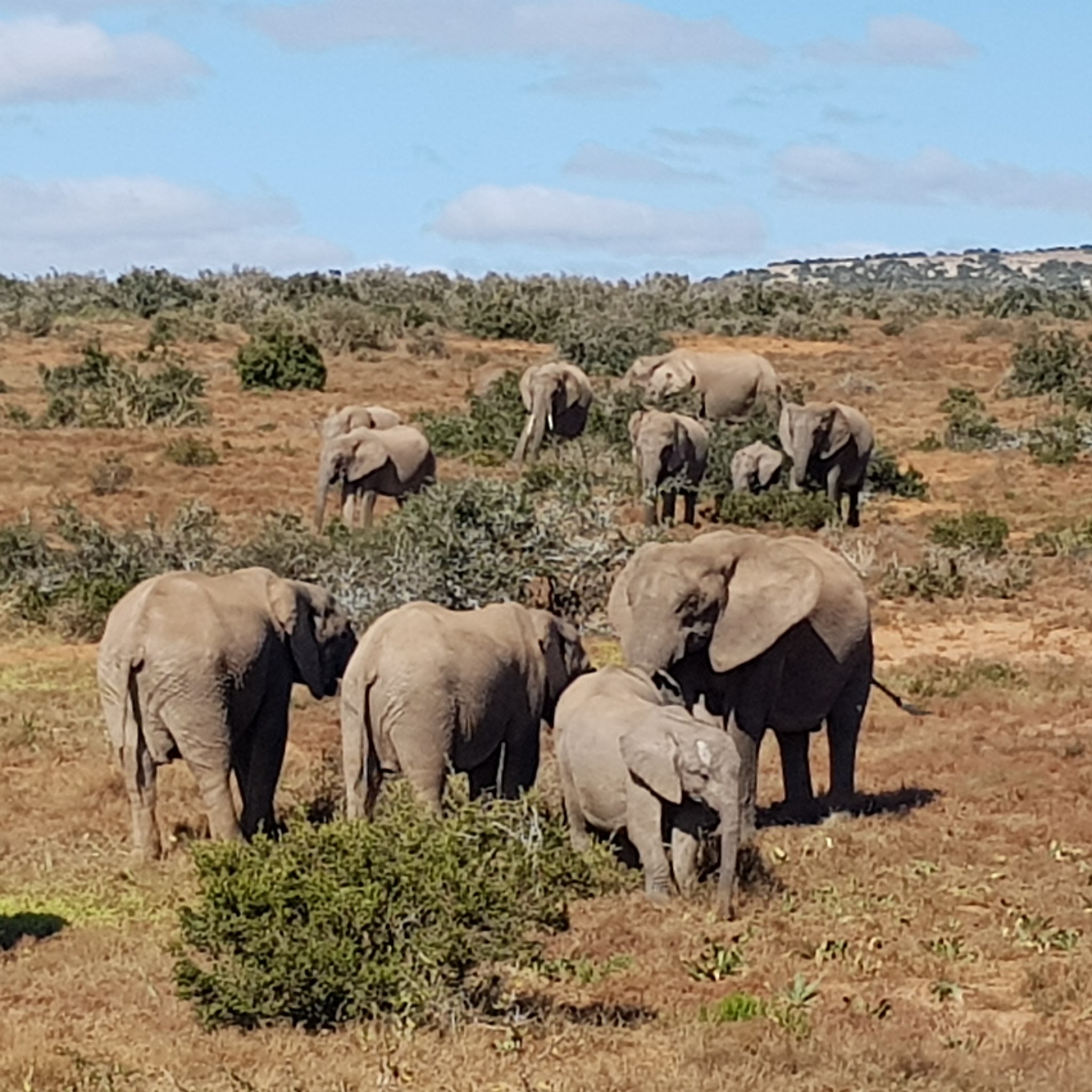
Addo Elephant National Park, from eleven survivors to hundreds today
Addo in the Eastern Cape was established in 1931 to save the last eleven elephants left in the area after decades of hunting. Today more than 600 live in the park, and the expanded Greater Addo project (targeting 3,600 km2) makes it the only park that can offer the Big Seven at once, elephant, rhino, lion, buffalo, leopard, plus whale and great white shark off the coast. A bonus for families with children is that the area is malaria-free.
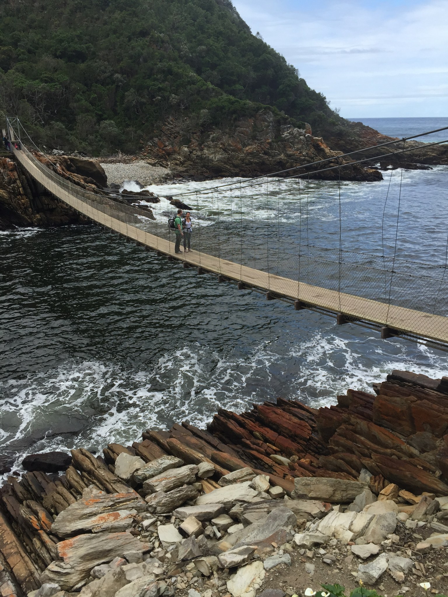
Tsitsikamma and the Storms River suspension bridge
On the Garden Route, at Storms River Mouth, a 77-metre suspension bridge spans the river mouth into the ocean, just seven metres above the water. A walk of under a kilometre through dense coastal forest leads there, with views of the turquoise ocean along the way. This is also where the famous five-day Otter Trail begins, following the coast to Nature\u2019s Valley.
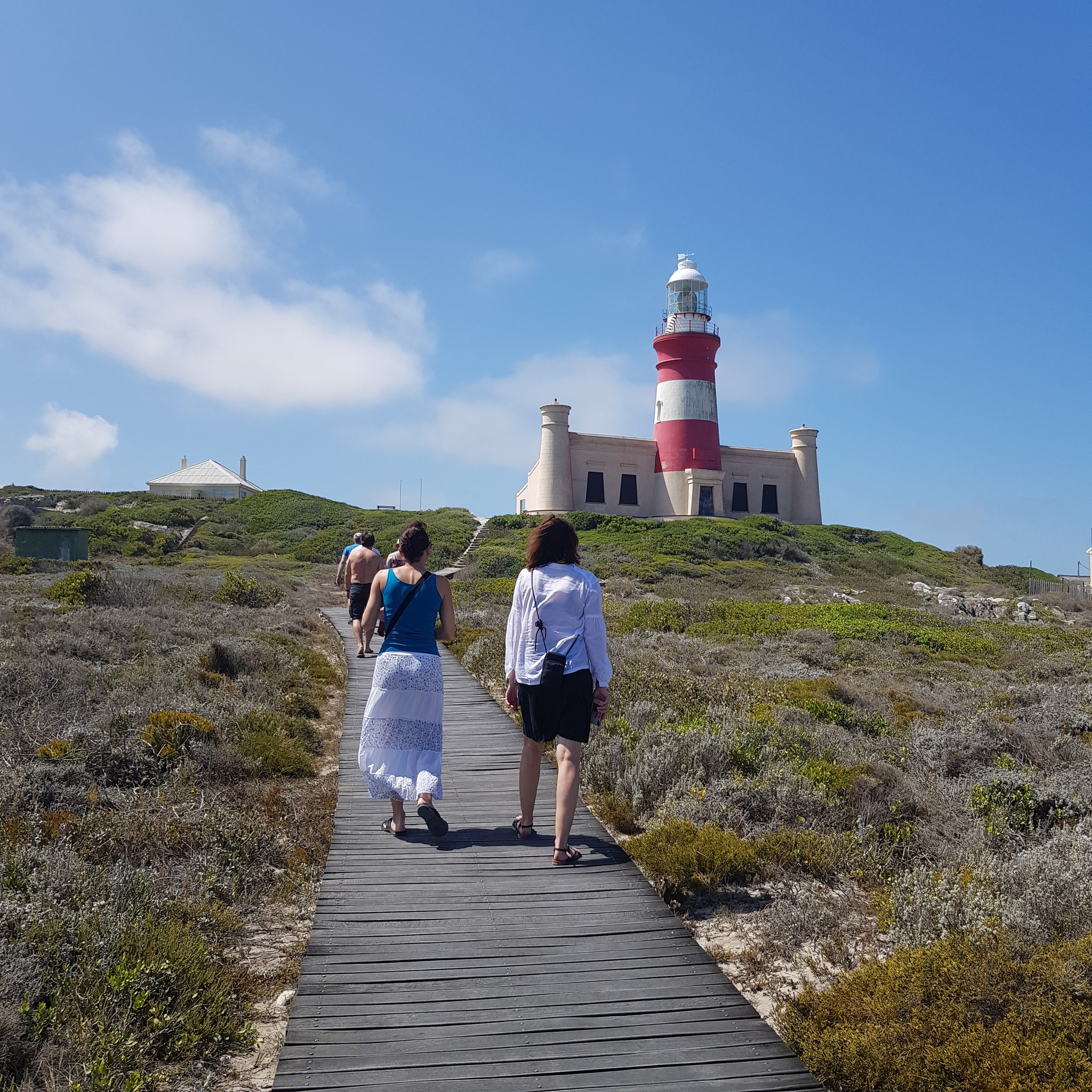
Cape Agulhas, the true southern tip of Africa
Cape Agulhas, roughly 176 kilometres southeast of Cape Town, is the point where, according to the International Hydrographic Organization, the official boundary between the Atlantic and Indian Oceans begins, not the better-known Cape of Good Hope or Cape Point, which often mistakenly claims this reputation. The reality is a little less sharp than the sign on site suggests: the warm Agulhas Current does not meet the cold Atlantic in one clean line but gradually curves back into the Indian Ocean and sheds its own eddies into the Atlantic, the boundary is more a broad transition zone than a line in the sand. Do not miss the 1848 lighthouse, the second-oldest working lighthouse in South Africa, standing 27 metres tall.
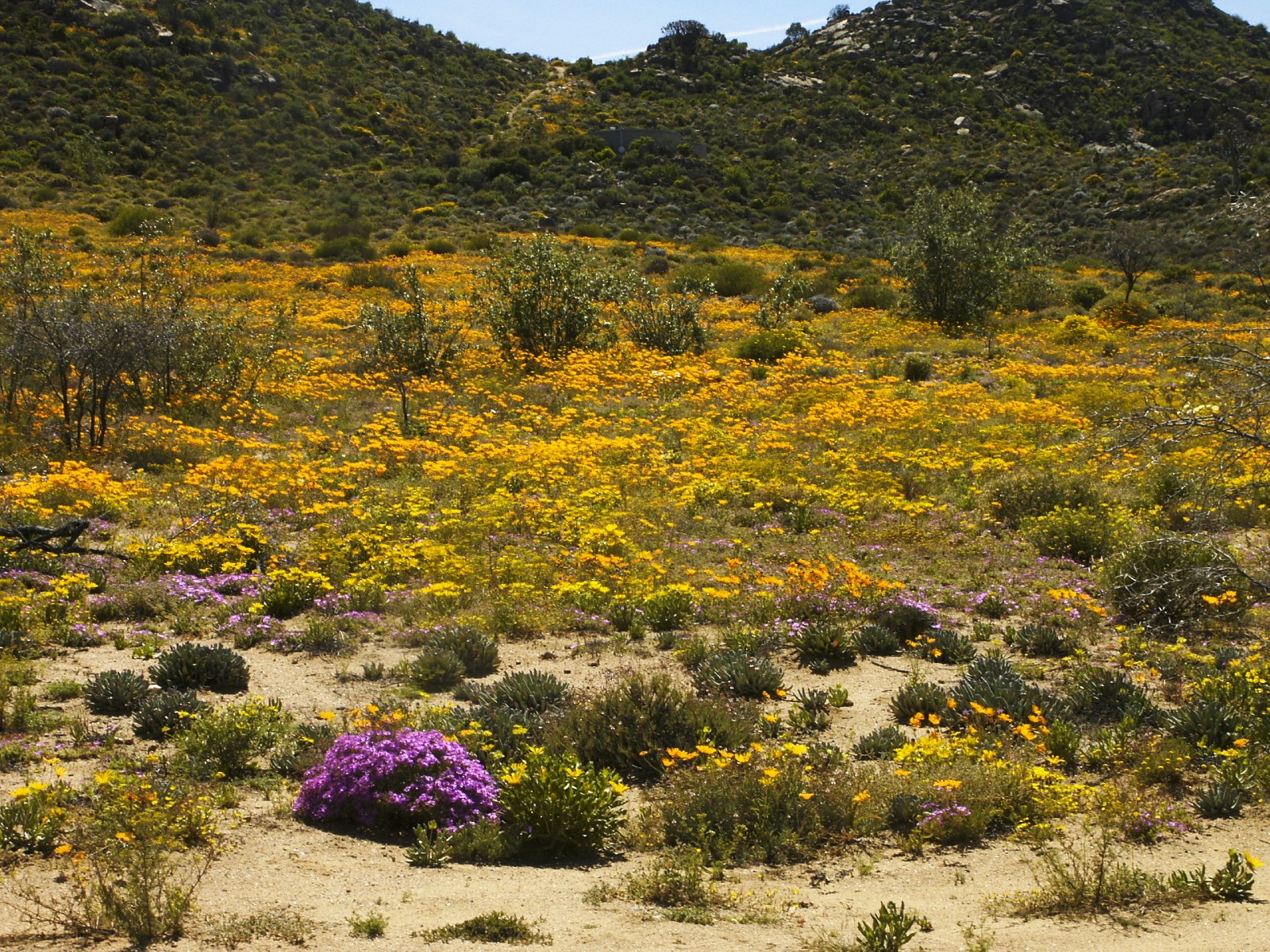
Namaqualand, a desert that blooms once a year
Namaqualand in the northwest of the country is dry, unremarkable country for most of the year, until August and September, when, after the winter rains, it suddenly bursts into orange, purple and white carpets of daisies and other flowers. At the heart of the region, in Namaqua National Park, spanning over 1,300 km2, more than 4,000 plant species grow, over a thousand of them found nowhere else on Earth. The wider area belongs to the Succulent Karoo biome, home to more than a third of the world\u2019s succulent species.
These places are not an automatic part of every trip, they fit in where they naturally connect with the route, time and interests of the group. Tell us what draws you in, and Zuzka will advise where each one could fit.